 A beautiful October day again saw us drive to Trenarren the end-point of my last walk. My destination from here this time was Pentewan which we had never visited. F. drove there after a short stroll with me on the first bit of my walk. I optimistically thought I would see her in an hour. It was more like three. Such are the vagaries of the Coast Path.
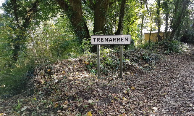
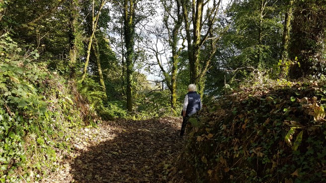 Very wooded to start off, it was interesting to note some private accesses to the Coast Path (must be nice).
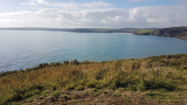
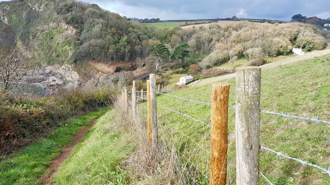
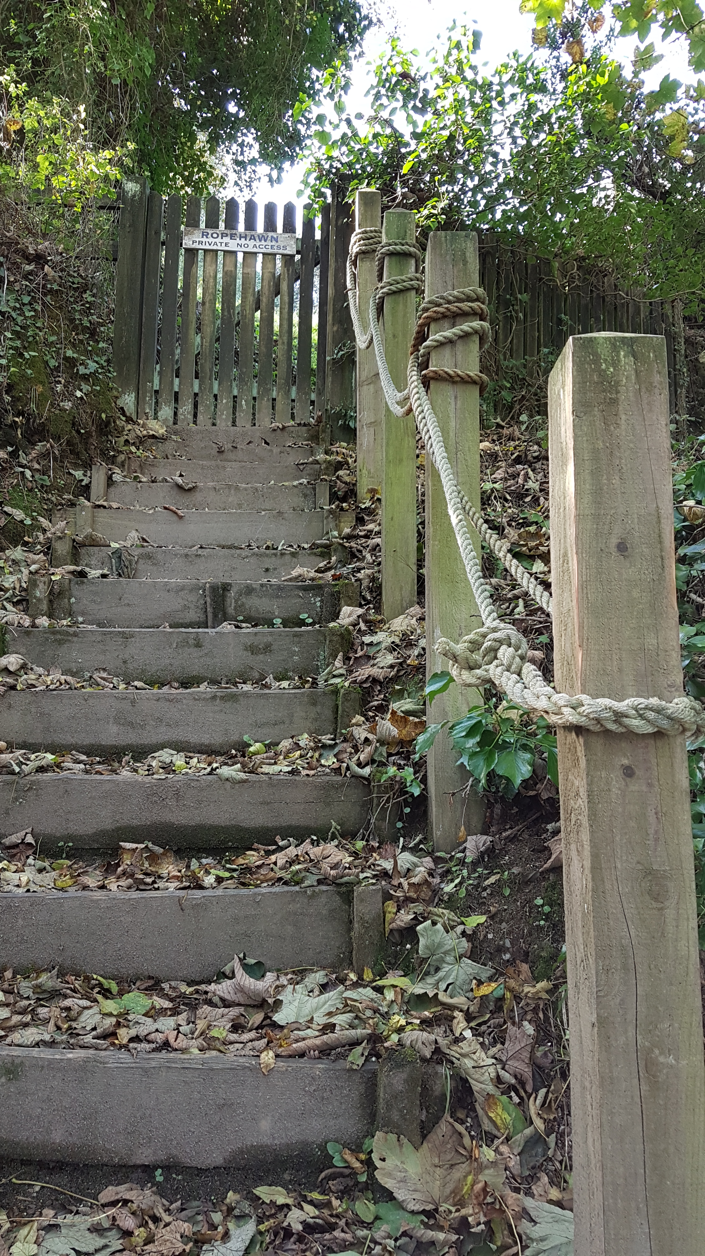 The view back was towards St Austell (mining country still) but the whole bay could be seen at times.
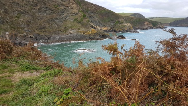
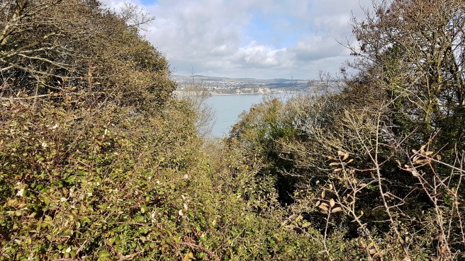 In places the sea was the beautiful turquoise colour which you find in photos of more exotic places….
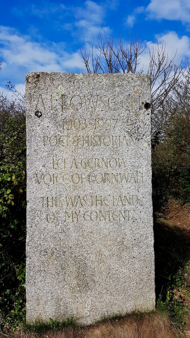
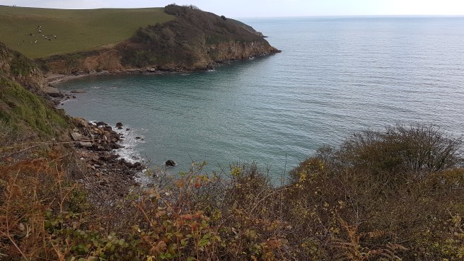
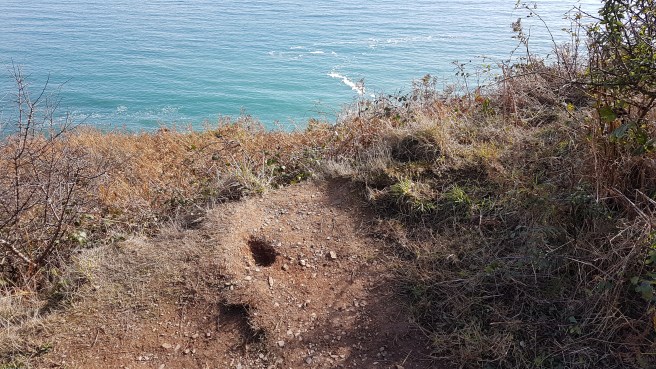 I soon saw ahead my first objective – the little promontory of Black Head. I found the engraved stone at the neck….This granite memorial engraved with “This was the land of my content”, was erected in the memory of Arthur Leslie Rowse, a Cornish writer and historian. Rowse was born in 1903, the son of an uneducated china clay worker, and was the first Cornishman to win a university scholarship, reading English at Christchurch College, Oxford. Rowse published about 100 books. By the mid-20th century, he was a celebrated author and much-travelled lecturer, especially in the United States. He also published many popular articles in newspapers and magazines in Great Britain and the United States. His brilliance was widely recognised. His knack for the sensational, as well as his academic boldness (which some considered to be irresponsible carelessness), sustained his reputation. His opinions on rival popular historians, such as Hugh Trevor-Roper and A. J. P. Taylor, were expressed sometimes in very strident terms. All three were well-known to me when I studied History at Oxford in the late Sixties……..And in fact Rowse retired to Trenarren House. I enjoyed learning all this.
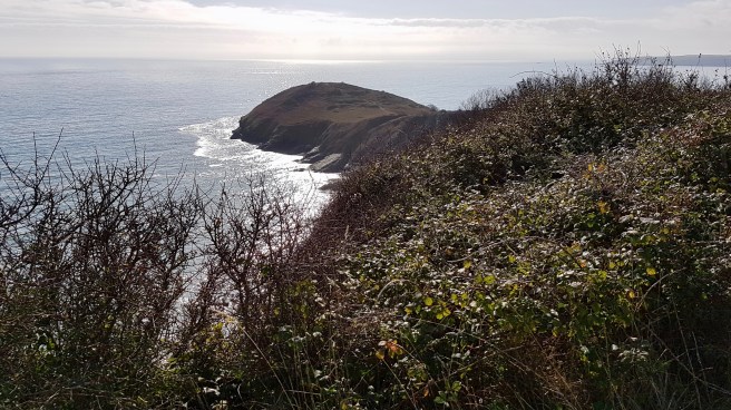 Great views of the bay and unsurprisingly there is a stone-age fort at the head. I thought I could discern some of the outline of ditches……


 Walking back along the promontory I discovered what I assume is a First or Second World War gun emplacement….
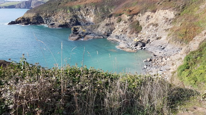
 Moving on steeply down, after leaving Black Head, I could see the isolated little hamlet of Hallane with two or three houses or cottages strung down the combe ending up at a rocky cove. Ideal for smugglers.
 The problem was that each building had carefully marked off grounds with the sort of ‘Strictly Private’ notices some folk love to put up. Failing to discern the correct route for the Coast Path I nearly ended up back at Trenarren, before consulting the OS map on my mobile. You would think that on a coastal path you may not need a map at all. Just keep the sea to your left! But it certainly doesn’t always work out like that.
 Presumably horses can get tired with the gradients round here too!
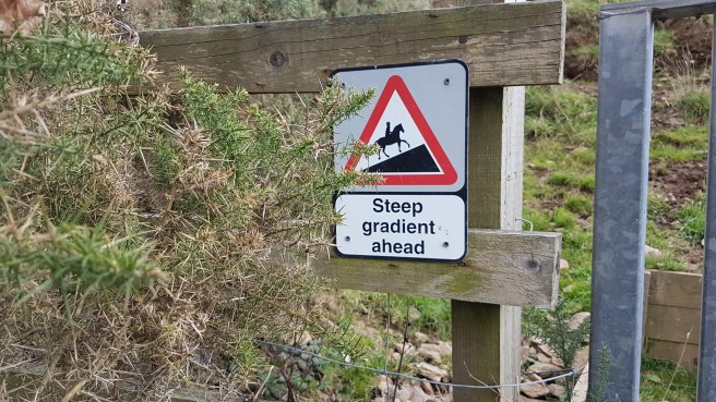 The correct route took me off into a wood along a pretty little brook on a stretch of land called The Vans (derivation?).
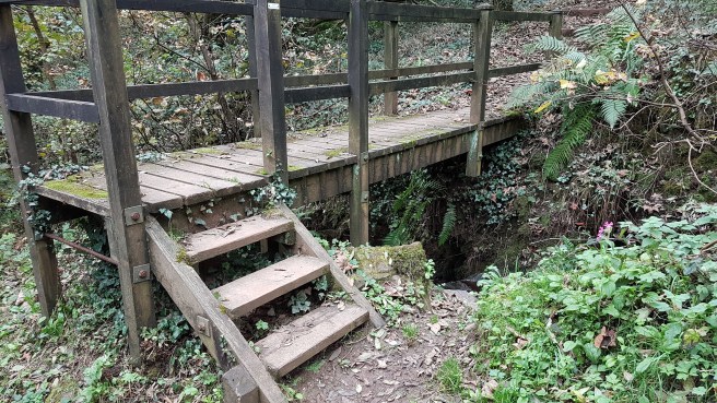 Next one of the brutal sections with very steep ascents and descents via steps, of which this shows just a small part. One can only laud the people who keep these footpaths in repair, but when you are using them you despair that they seem designed to be as difficult as possible, being half a step too long or too short between each riser…just the wrong amount especially for someone with bad knees like me.
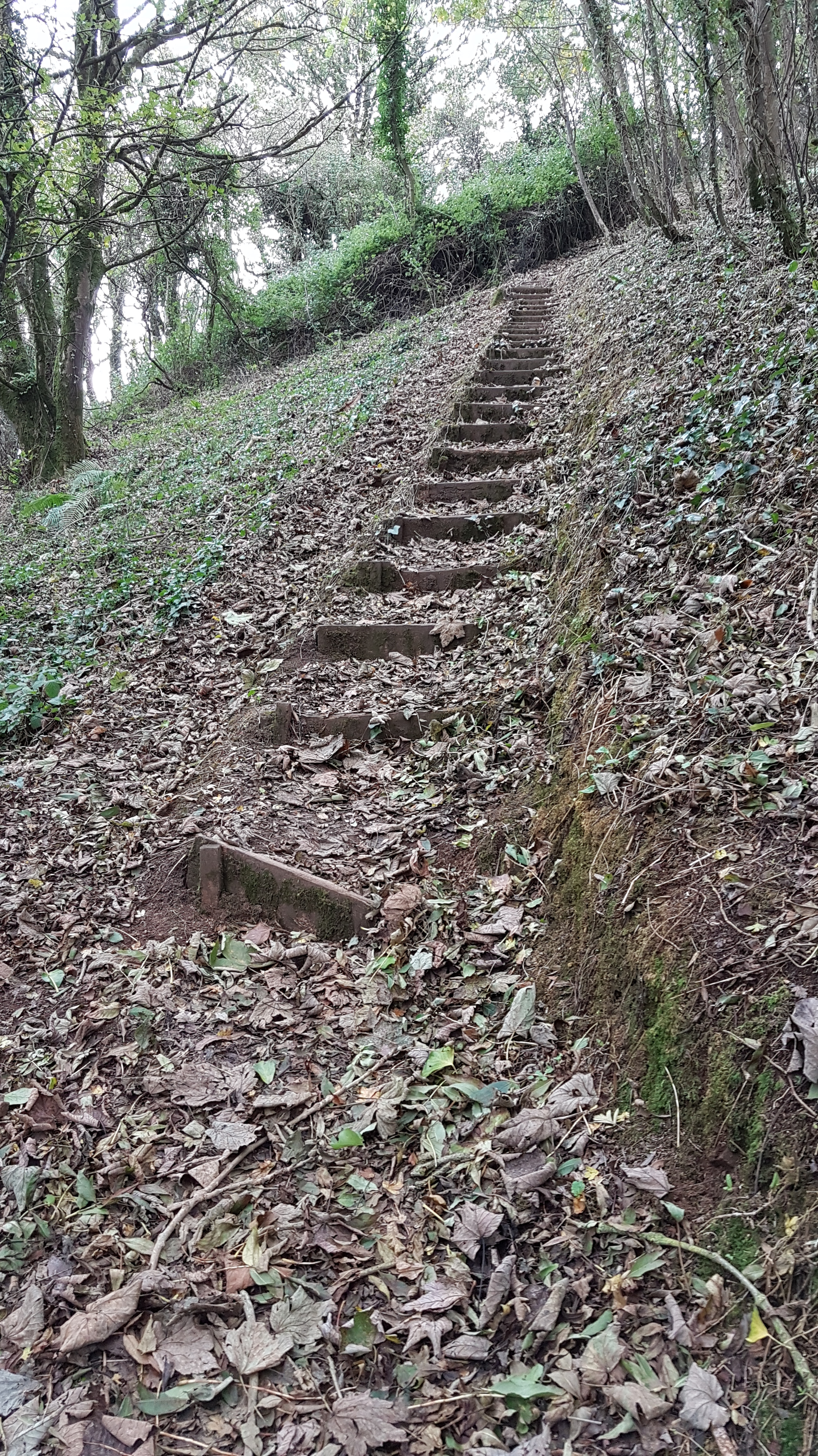
 Another individually designed bridge,,,
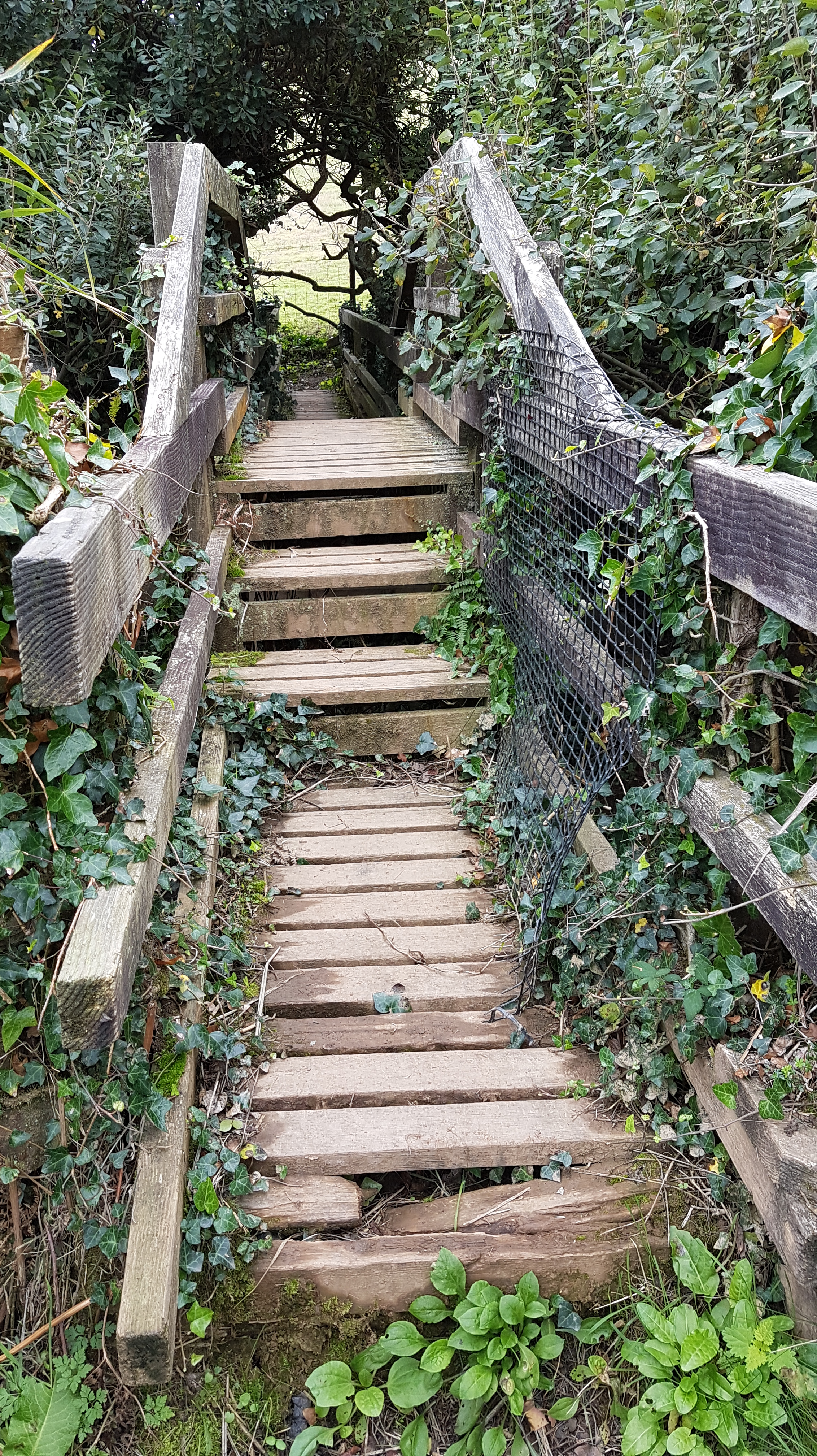 Good views of isolated little coves with no apparent access. Let’s hope the bamboo doesn’t become as much as a problem as in our garden. I do think Cornwall is in real danger of being suffocated by bamboo.
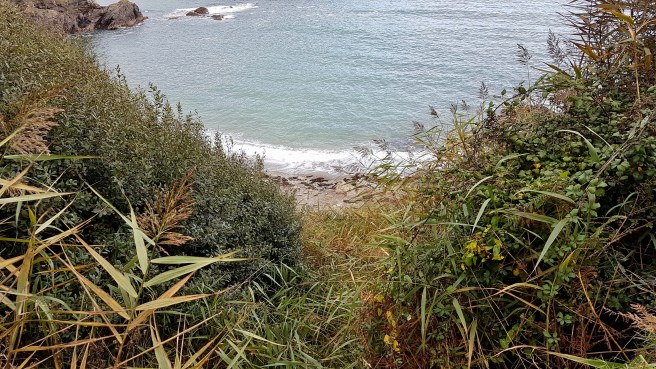
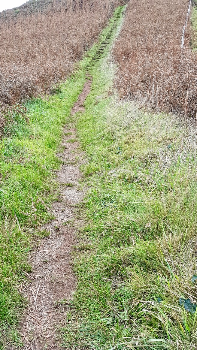
 What I had estimated and told F. in the beginning was starting to look silly now. What looks a short distance on the map, if full of these ups and downs can take 2 or 3 times as long as you think…..very dispiriting too to see them ahead of you, and to know from experience that what goes up must come down!
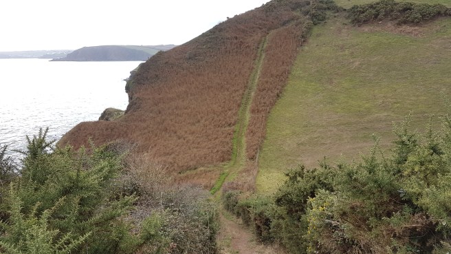
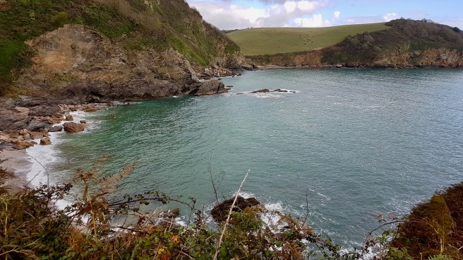
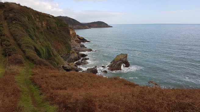 Looking back at this point I could just about discern the red and white stripes of the distant Gribbin Head marker as well as Black Head itself.
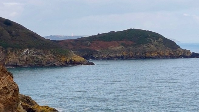

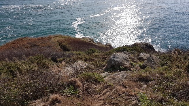
 And since I have no head at all for heights I must mention that parts of this section of the Coast Path do seem very exposed with steep drops inches away from the path….
 At last my destination of Pentewan Sands can be glimpsed..
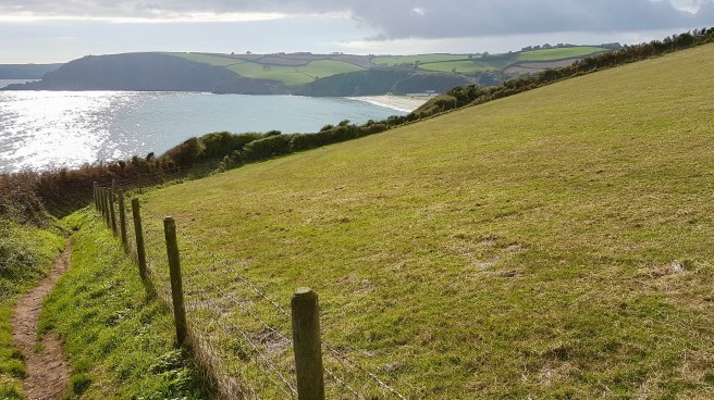
 But as it gets nearer the whole view and all sense of rural idyll is spoilt by the horrendous mobile home park typical of much else that totally spoils Cornwall. How could any sensible Planning Department give permission for all of this – plus deem the beach private to the Park. It’s an absolute disgrace. Cornwall really could be the place of your dreams or The Land Of My Content. But it isn’t. It’s despoiled and ravaged by caravan parks, mobile homes, wind farms, scruffy towns, no seeming overall plan, and the fact that it is is the end outcome of profit and cost control versus the environment.
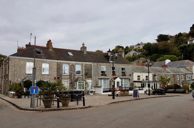
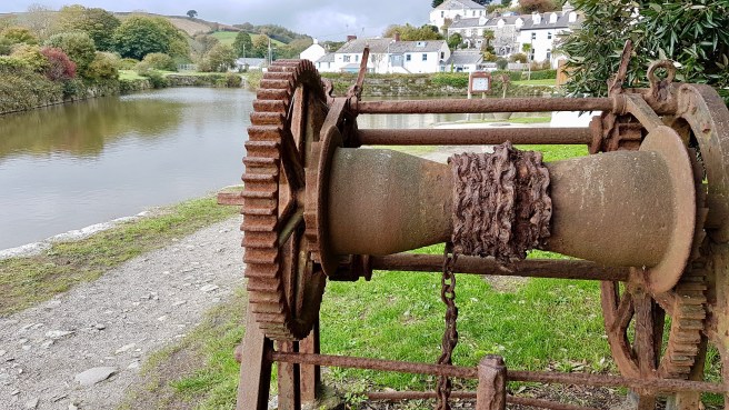
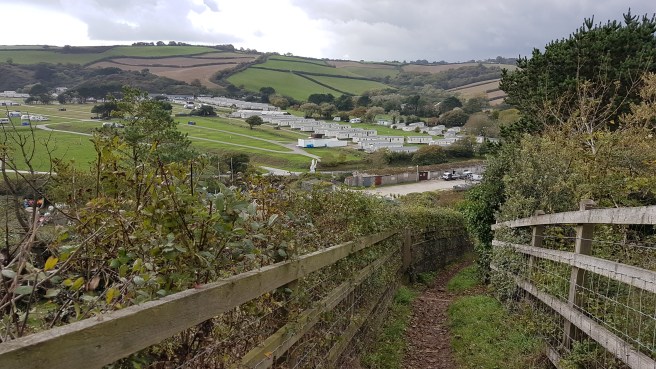 As I move down the last hill (thank God) into Pentewan itself it is revealed as a quite charming village hunkered over its own bit of inland water and with some well-preserved remains of its previous industrial past. The always excellent Iwalkcornwall site has this to say…..”Pentewan dates back to mediaeval times when it was mainly a fishing village with a harbour. The harbour was rebuilt in the 1820s both for the pilchard fishery and to create a china clay port. At its peak, a third of Cornwall’s china clay was shipped from Pentewan. However the harbour had continual silting problems which meant that it was eventually overtaken by Charlestown and Par. As well as longshore drift carrying sand east across Mevagissey Bay, there was also silt being washed down the river from china clay works and tin streaming. Consequently, the harbour gradually silted up with the last trading ship leaving in 1940 and World War II literally sealing its fate. By the 1960s, the harbour was only accessible to small boats and today the harbour basin is entirely cut off from the sea………… names of many coastal features are derived from words in the Cornish language:
- Pen – Headland (Cornish for “top” or “head”)
- Pol – often used to mean Harbour (literally “Pool”)
- Porth – Port but often used to mean Cove
- Zawn – sea inlet (from the Cornish “sawan” meaning chasm)
Note that Haven has Saxon origins (hæfen in Old English) which is why it tends to occur more in North East Cornwall (Millook, Crackington, Bude etc)……..
 In fact the more I see of Pentewan the more charming it becomes. And, meeting Frances, we wander off to the local pub the Ship which is very presentable indeed…….
 …. and as well as bars and beer garden has a library. Who would have thought it?
 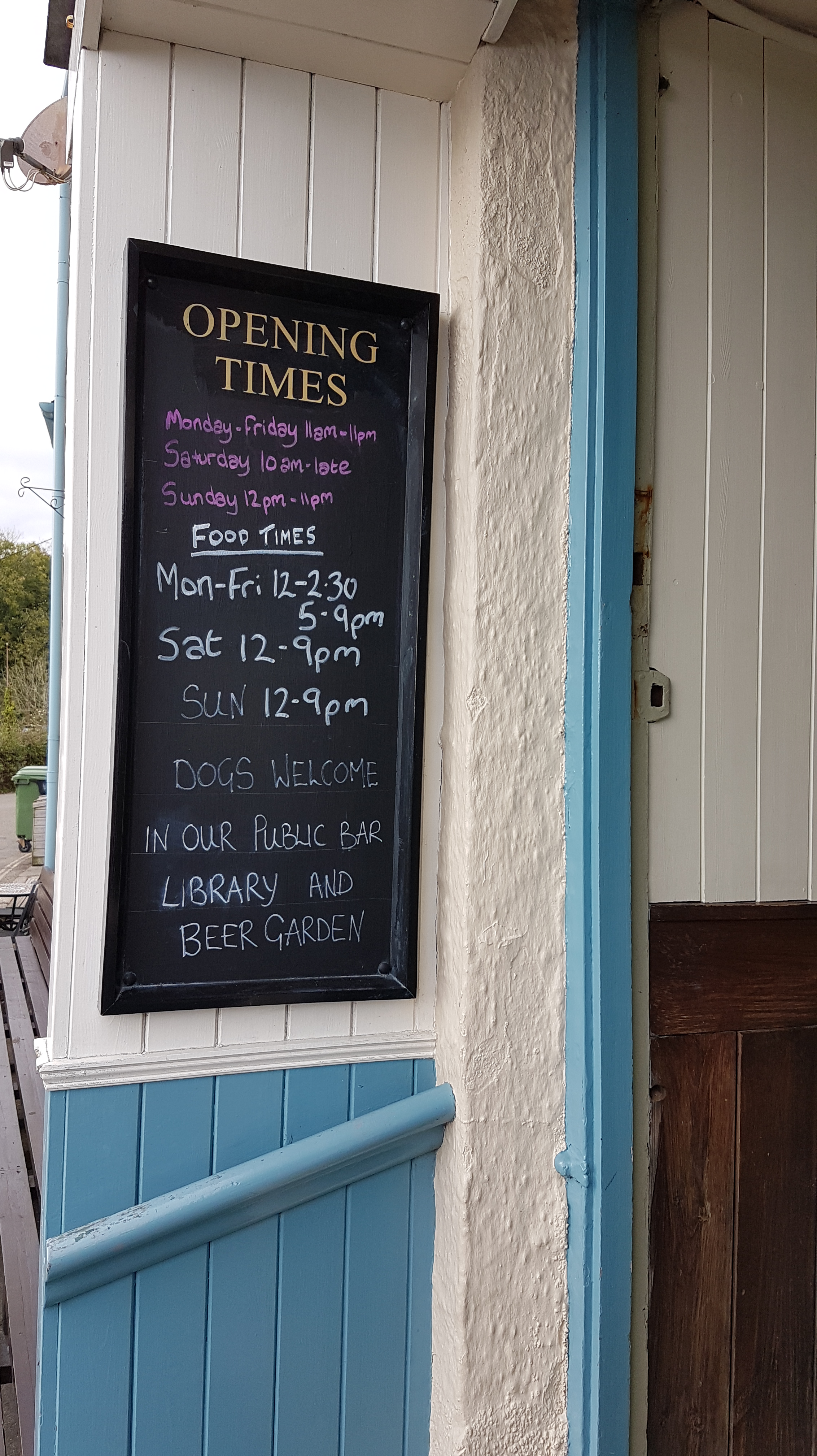 And a sense of humour of sorts…
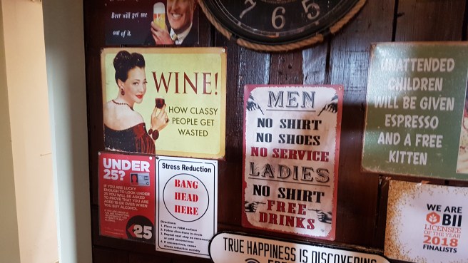 We sit on benches outside enjoying the afternoon warmth and in front of us is a ‘Gin and Sorbet’ bar which would make London Metropolitans jealous. As it says with humour a bit like my own….’Let The Good Times BeGin’. Well, well.
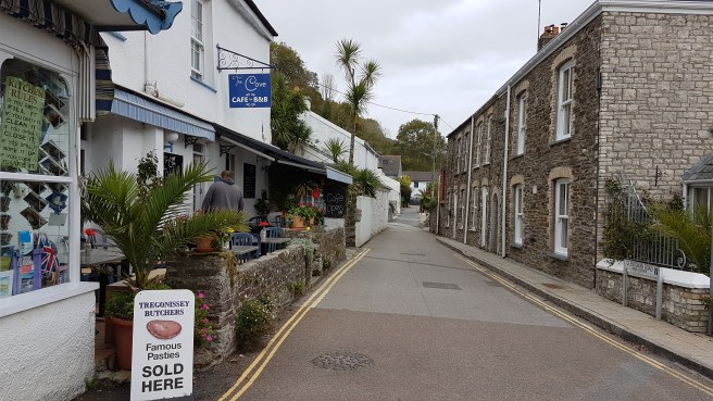
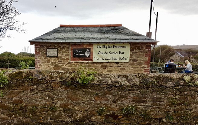 Walking to the car we pass through the heart of the village….
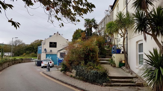 ….which even has a village green of the sort you might expect in Yorkshire or the Lake District……what a lovely place. How even more angry I am at the blot on earth that is the dominating mobile home park….and the concept of a ‘private’ beach….ugh.