 The start of my walk today Tregantle fort is one of several forts surrounding Plymouth that were built as a result of a decision in Lord Palmerston’s premiership to deter the French from attacking naval bases on the Channel coast. It is still used by all 3 services today especially as a rifle range and when red flags fly a lot of the area is inaccessible. Luckily no flags today….
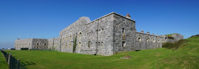
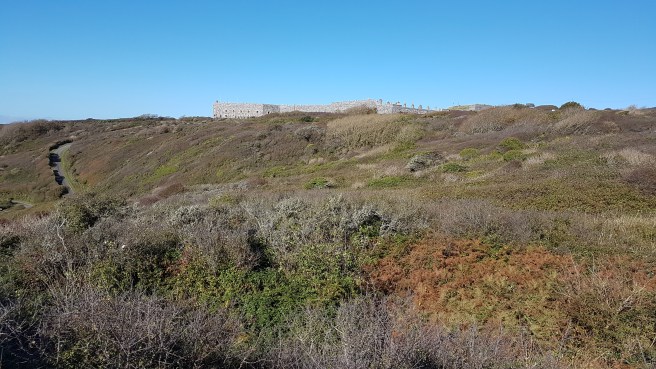 We parked on the road by the side of the fort….it’s great that we are outside the tourist season as parking is eased all over Cornwall. We then walked down by the side of some of the ranges (later on we were to hear plenty of small-arms fire). An interesting notice for my collection…
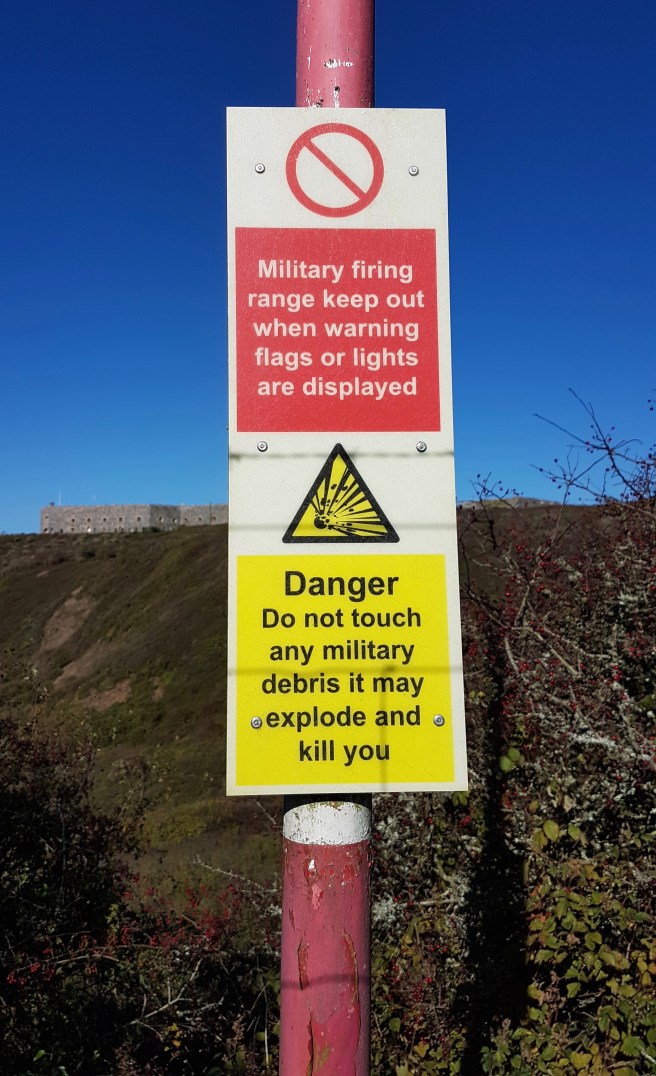 You can just see some of the targets in the pic below….here we are looking back towards Looe in the far distance.
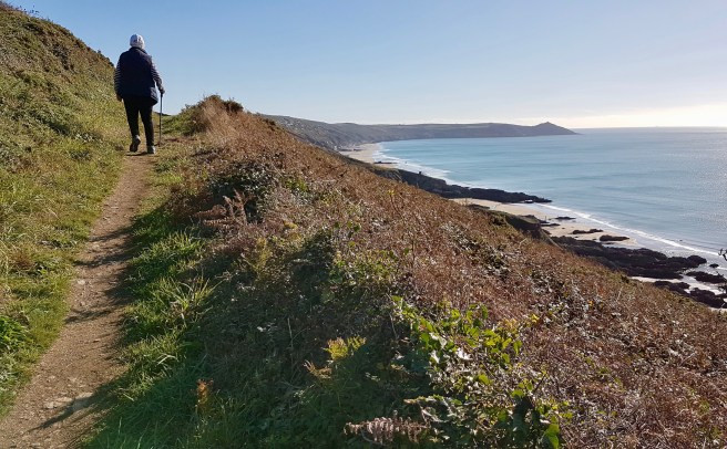
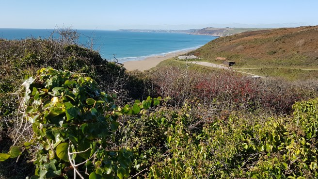 And it wasn’t long before we started to see the wonderful extent of Whitsand Bay which we have never visited, one of the longest stretches of sand in Cornwall, but difficult of access.
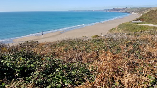 F. walked with me for a short while and we could just see ahead my objective – Rame Head. Throughout the walk it was extremely difficult to take pics of the way ahead as the sun was so dazzling (October in Cornwall!).
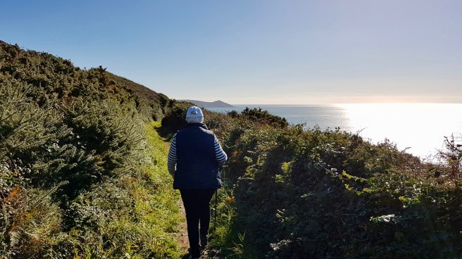 It was in between tides so at absolute low tide one can imagine how magnificent the beach looks.
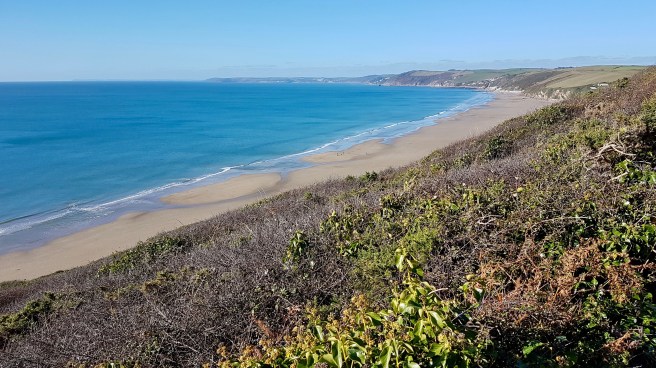
 F. turned around after a while and was due to meet me with the car somewhere on Rame Head…final destination open although I was hoping it would be the chapel on the end of the Head. Separate little coves soon started to appear, all accessible down very steep paths and indeed I met several groups of families in swimwear who were heading down to the beaches.
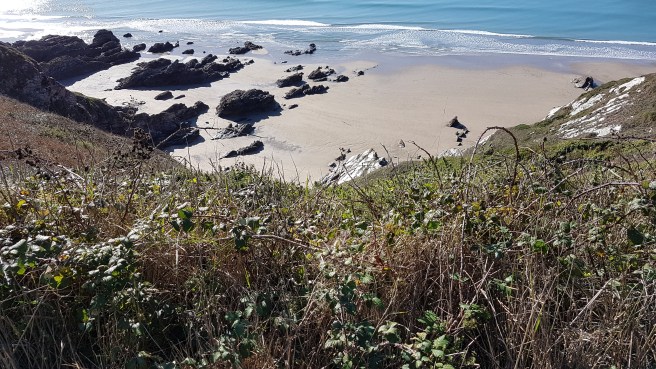 At one isolated spot a lookout appeared, and I assume this is one of the National Coastwatch Institution’s as there is one somewhere around here. Having visited two in the last couple of weeks I gave this one a miss.
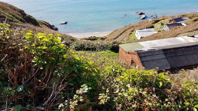
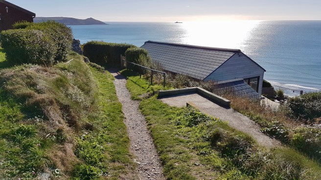
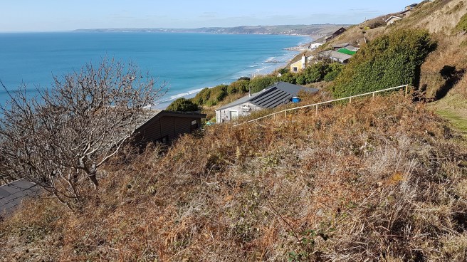
 All at once chalets appeared which seemed to cover the whole cliffside. What a lovely unspoilt walk this would be without them. Looks like a shanty town.
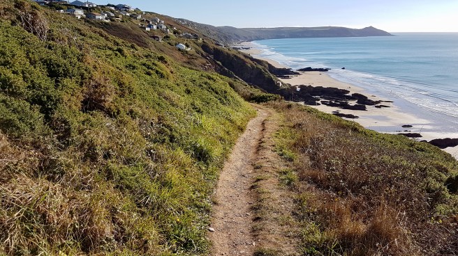 I assumed this walk would be quite flat. Wrong again, and I was glad F. had insisted I take my walking stick which is a tremendous help.
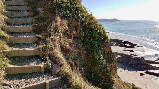 The path appears and disappears as you have to make your way through all the chalets (or huts)…..
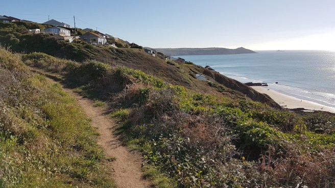
 Quite a few I noticed had Indian names, so I am assuming they were from the thirties or thereabouts…
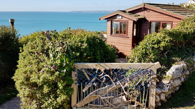
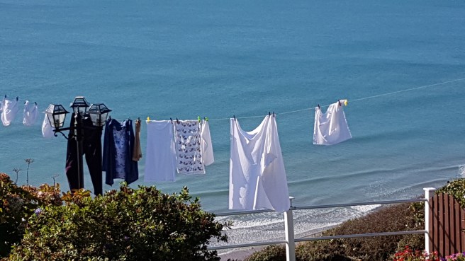
The thirties was a period before planning regulations, so the huts sprang up in a fashion that was at once anarchic and strictly governed by the landscape. As there were no natural ledges, families would dig out a bit of cliff and put the rubble at the front as a patch of garden. There was talk apparently, fairly recently, by the Council of knocking them all down. however what has happened is that they have just absolved themselves of all responsibilities and state that the whole cliffside is unprotected and they have no plans to manage erosion here. My own personal hope would be that in a thousand years erosion has tumbled them all into the sea. This bus stop has a fine view!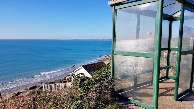 There are things blooming in Cornwall at all times of the year. Gorse is well-known to flower here all year round. This hedgerow was brightened up considerably. And I did see some wildlife!
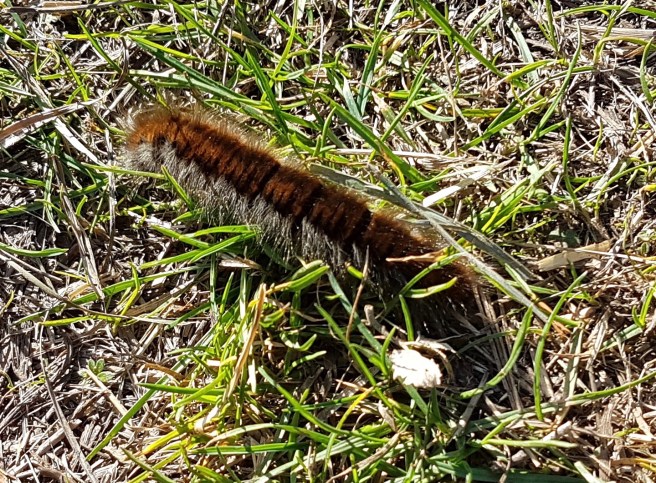
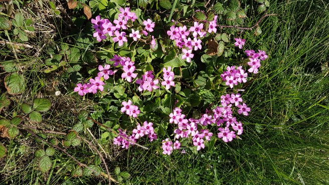
 Whilst the temptation is always to look seawards on a walk like this I did cross over the road (which you have to use occasionally) to get a great view in the distance of Plymouth.
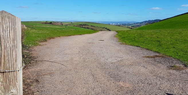 Of course there is danger wherever you go on the Cornish coast but this little monument was very poignant….
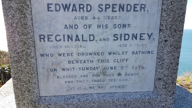
 I did see one restaurant with excellent views called rather unimaginatively ‘The View’. It had an exceptionally good-sounding menu. As an example I remember dabs for the first course and skate wing for the main with pancetta and gremolata. 2 courses for £14.50. Sounds great.
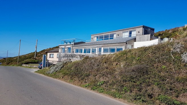
 I do like benches with a view and this was one of those walks where there were many.
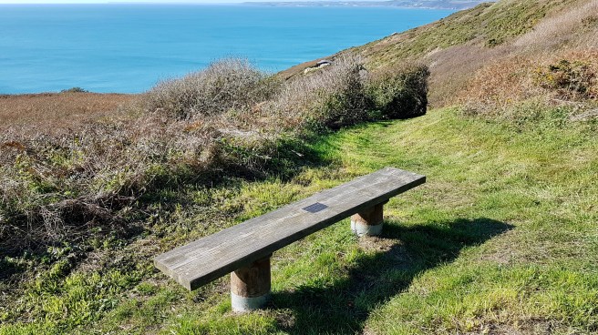 Nearing Rame Head the cliffs were still dangerous.
 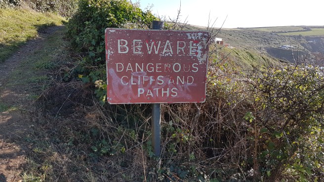 I could just see Polhawn Fort another one of the three along here. Polhawn Fort faces out over the beach and was built in the early 1860s to defend the eastern approach to Whitsand Bay. If was armed with a battery of seven 68-pounder guns. A design flaw was that its exposed left side could be attacked from the sea and this was not as heavily fortified as the front which faces onto the beach. Rather than improving it, its role was taken over by the batteries at Tregantle and Raleigh and Polhawn was abandoned by the MOD in 1928. The building survives in good condition as a hotel.
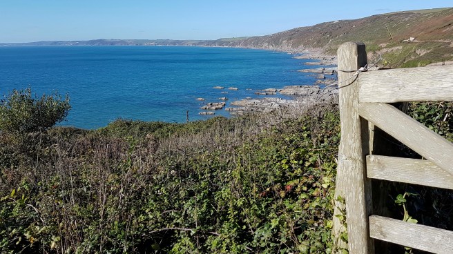 It was round about here with the Rame Head chapel just in reach that I received a message from F. saying she couldn’t get to Rame Head because the road was closed. I therefore decided to cut across the peninsula and meet her at Kingsand. My path led to the charming little hamlet of Trehill. It reminded me very much of a Lakeland village.
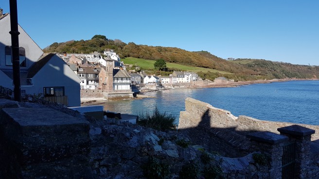
 As I dropped down into Kingsand I saw the third of the forts. Cawsand Fort was originally a Palmerston fort, and was remodelled as part of the late nineteenth-century defences that included the batteries at Pier Cellars and Penlee Point. Today it is a complex of luxury apartments. Good to see the variety of uses to which Palmerston’s forts have been put.
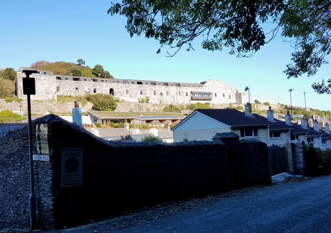 Perhaps you can just see a couple of bathers near the little beach at Cawsand – it was warm!
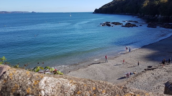 As I have said before Kingsand and Cawsand together are one of the most delightful spots in Cornwall, and we always discover some new angle….
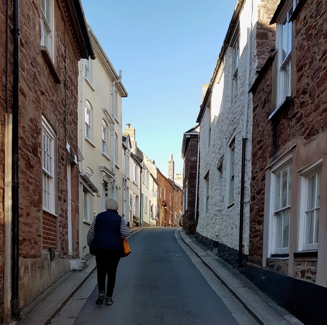
 Pity the houses are so expensive……..
